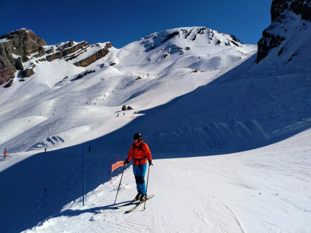
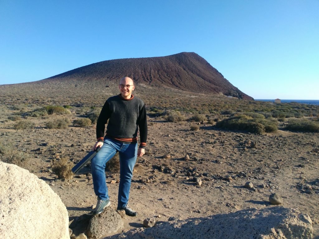
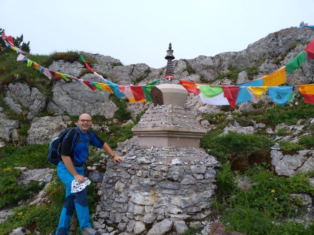
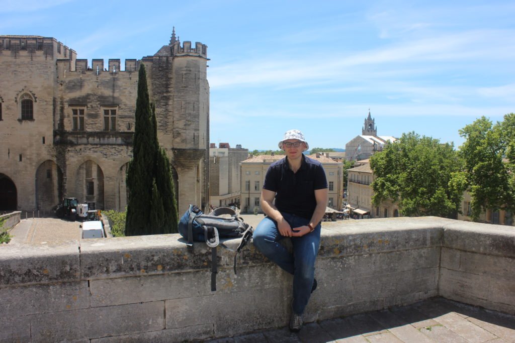
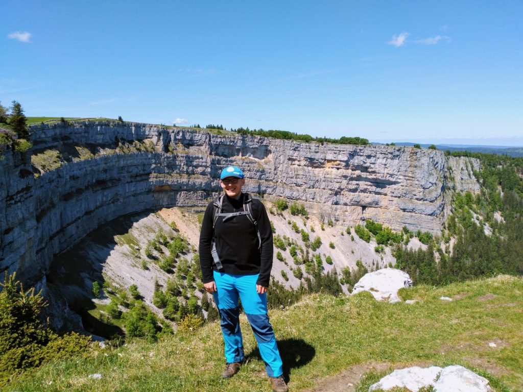
I am a metrologist specializing in precision alignment for particle accelerators. After completing my PhD at ETH Zurich and working at CERN Geneva, I now work at SLAC Stanford University developing advanced measurement and alignment systems using laser trackers and custom solutions. My work combines engineering, 3D spatial analysis, and programming. Outside the lab, I enjoy traveling and exploring science, and nature.
I'm Witold Niewiem
Welcome on my personal website

Professional experience
Alignment Engineer
SLAC National Accelerator Laboratory
Stanford University
U.S. Department of Energy
Dates Employed: Sep 2025 – Present
Location: Menlo Park, CA, USA
► alignment of accelerator components and experimental facilities, displacement analyses and stability monitoring
► precise measurements using laser trackers, CMMs and classical surveying techniques
► responsible for: field measurements, geodetic computations and technical reports, network design and adjustment, software development (Python/C++)
► quality control and uncertainty analysis for high-precision positioning systems
Large Scale Metrologist
CERN - European Organization for Nuclear Research
Dates Employed: Oct 2018 – Jun 2025
Location: Geneva, Switzerland
Alignment of experiments
►survey of experiments, displacement analyses and adjustment monitoring
►precise measurements using laser trackers, photogrammetry and metrology systems
►responsible for: field works, computations and reports, software development (R)
►development of a optical alignment system based on an Structure Laser Beam (SLB) for accelerator alignment
Surveyor Metrologist
National Synchrotron Radiation Centre SOLARIS
Dates Employed: Jun 2018 – Aug 2018
Location: Krakow Metropolitan Area
►survey of synchrotron using Leica AT40x, portable measuring arm and precise level
►network measurement and adjustment for linear accelerator
►precise leveling inside synchrotron ring
►responsible for field works and computations
LiDAR Engineer
ProGea 4D
Dates Employed: Jul 2015 – May 2016
Location: Krakow Metropolitan Area
►job consists in processing of spatial data in professional software
►carry out projects country-wide and international in the field of GIS and 3D modeling
►responsible for the data processing of mobile, terrestrial and airborne laser scanning
►involved in data adjustment, classification and 3D modeling in CAD


Doctor of Science
ETH Zurich
Field Of Study: Geodesy and Photogrammetry
Dates: 2022 – 2025
Thesis Title: Alignment system for particle accelerators based on a Structured Laser Beam
Field Of Study: Geodesy and Photogrammetry
Dates: 2022 – 2025
Thesis Title: Alignment system for particle accelerators based on a Structured Laser Beam
Master of Science
AGH University of Science and Technology
Field Of Study: Photogrammetry and Remote Sensing
Dates: 2015 – 2017
Thesis Title: The photogrammetric system for an inventory of small objects
Field Of Study: Photogrammetry and Remote Sensing
Dates: 2015 – 2017
Thesis Title: The photogrammetric system for an inventory of small objects
Bachelor of Science
AGH University of Science and Technology
Field Of Study: Geodesy and Cartography
Dates: 2012 – 2015
Thesis Title: The orthophotomap from images obtained by an unmanned aerial vehicle and the analysis of its accuracy
Field Of Study: Geodesy and Cartography
Dates: 2012 – 2015
Thesis Title: The orthophotomap from images obtained by an unmanned aerial vehicle and the analysis of its accuracy
