Magurska and Mylna Caves inventory in Tatra National Park
Caves measurements
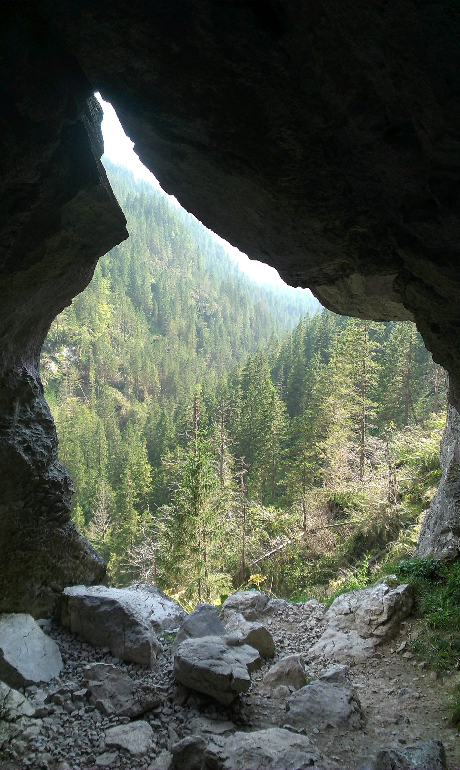
Mylna Cave
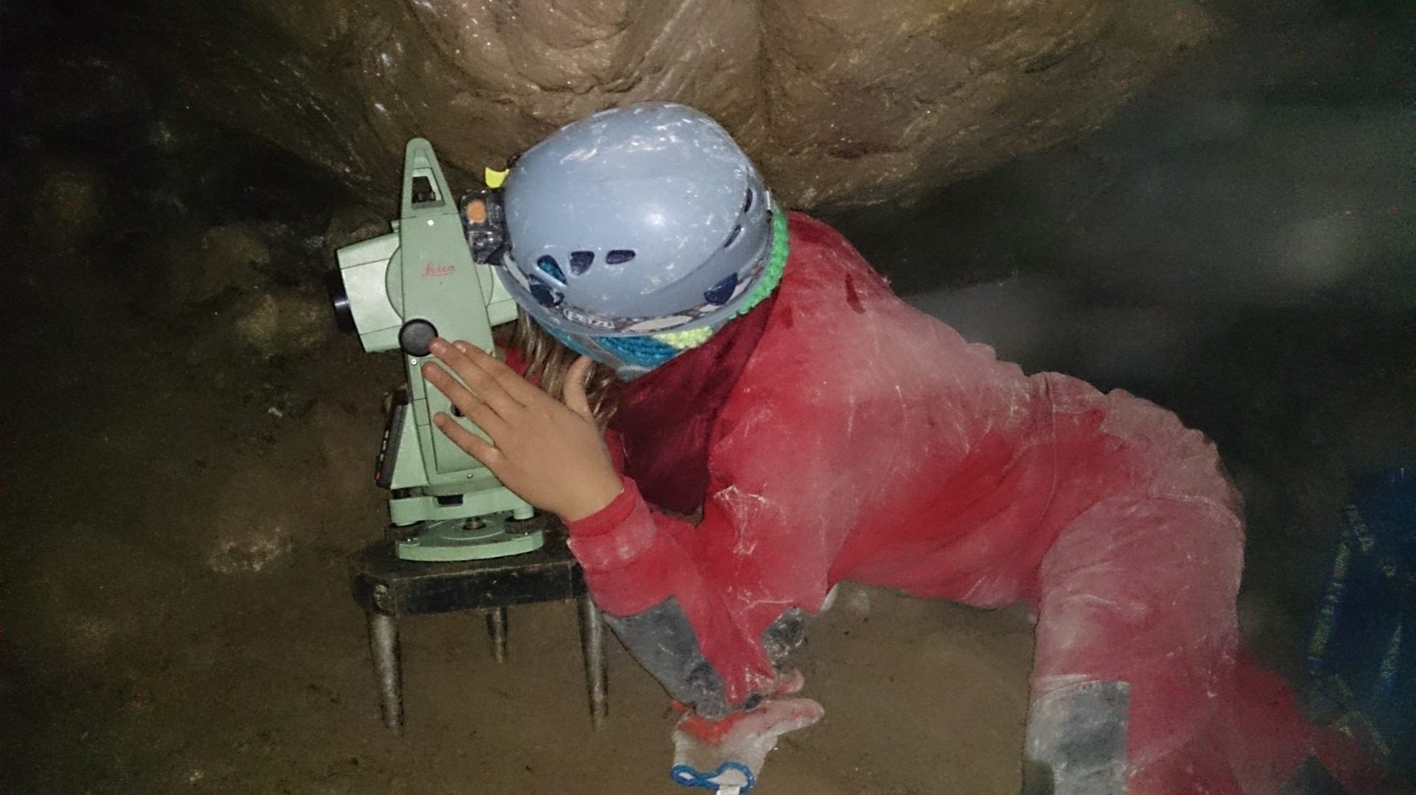
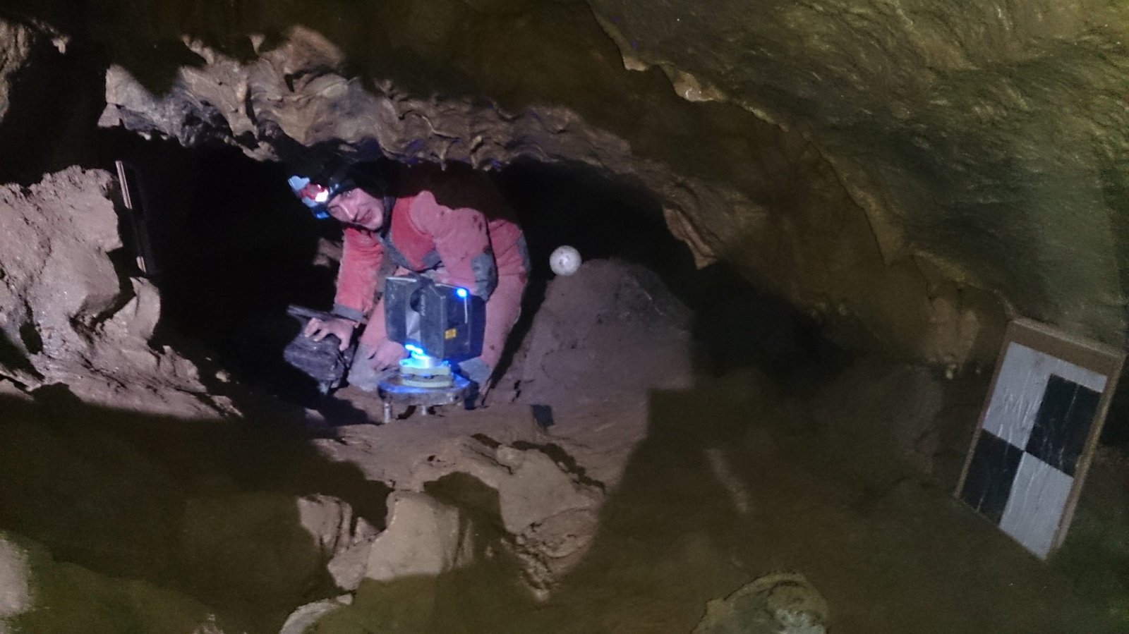
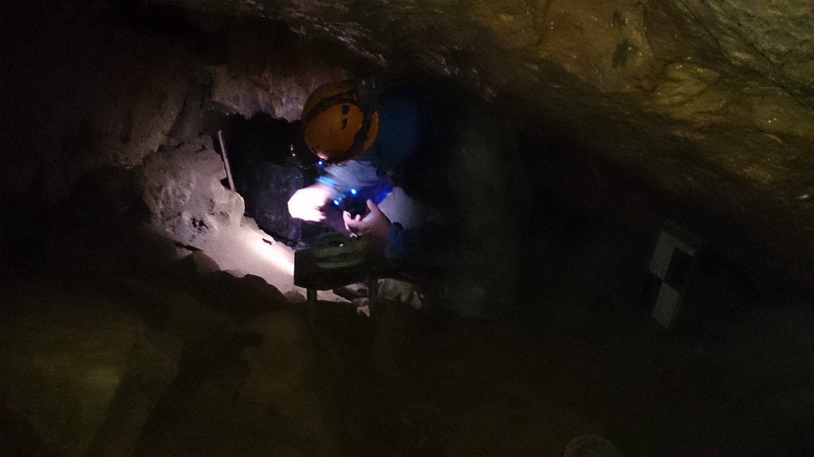
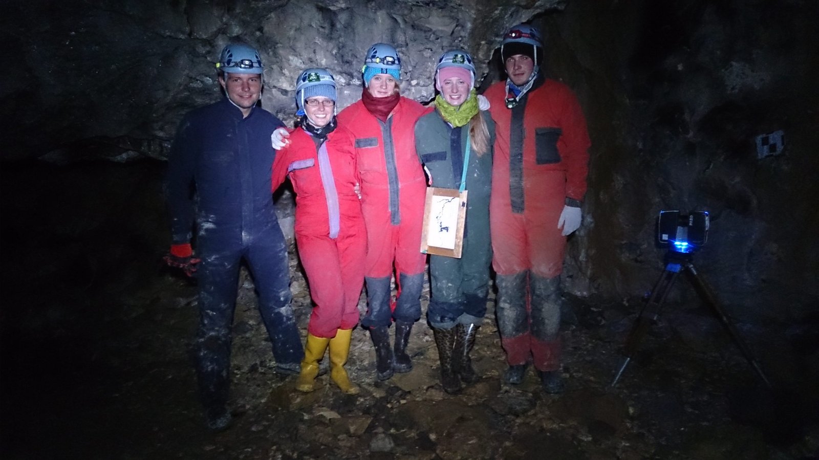
The purpose of that work was to conduct an inventory of the main corridor of the Mylna Cave located in the Kościeliska valley in the Tatra Mountains and to determine the usefulness of using the laser scanning method to conduct this type of the measurement. The field works contain a stabilization and a measurement of a temporary scanning network in the main cave corridor. The average resolution of the laser scanning was about 3mm / 7m. As a result of the study, a cave map was created and several horizontal and vertical sections were made at the characteristic points of the cave.
https://geoforum.pl/news/18372/bedzie-model-3d-jaskini-mylnej
CLIENT
ROLE
Laser scanning, TC and GNSS measurements
YEAR
2014


CLIENT
ROLE
Laser scanning, TC and GNSS measurements
YEAR
2015
Magurska Cave
The point cloud of the main corridor was obtained in the global system with a resolution 2.5 cm and an adjustment accuracy 3.2 cm. The laser scanning allows reliable reproduction of a shape of the cave. The obtained cloud allowed to generate cross-sections, which are used to extract the most important dimensions. The measurements constitutes the primary data set, which will be a future reference in order to detect any changes or losses. Due to carried works, it was possible to determine the exact location and quantity of animal remains. They were documented both by photographic and laser scanning.
https://geoforum.pl/news/20503/tatry-weryfikacja-teorii-z-rzeczywistoscia