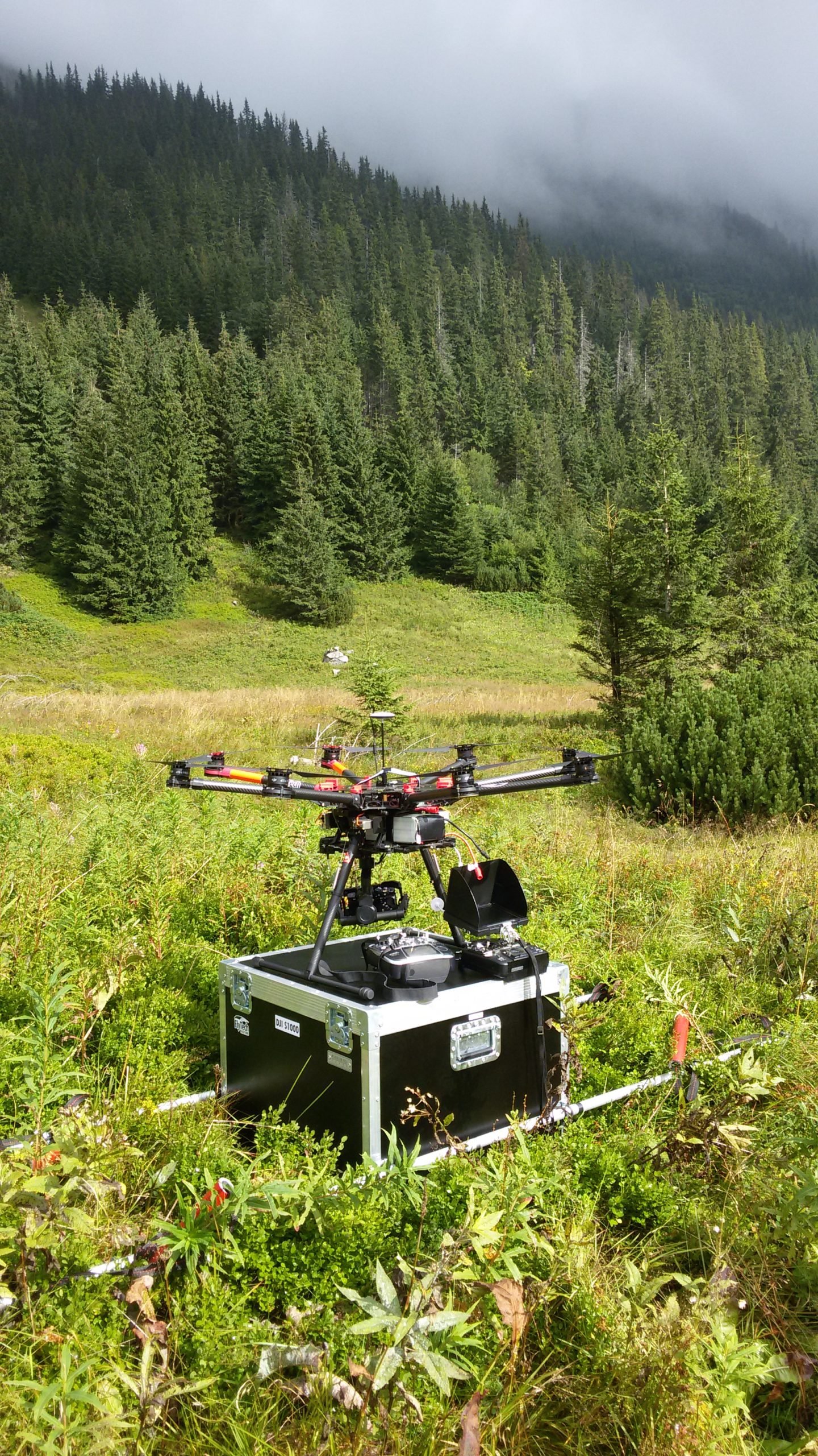
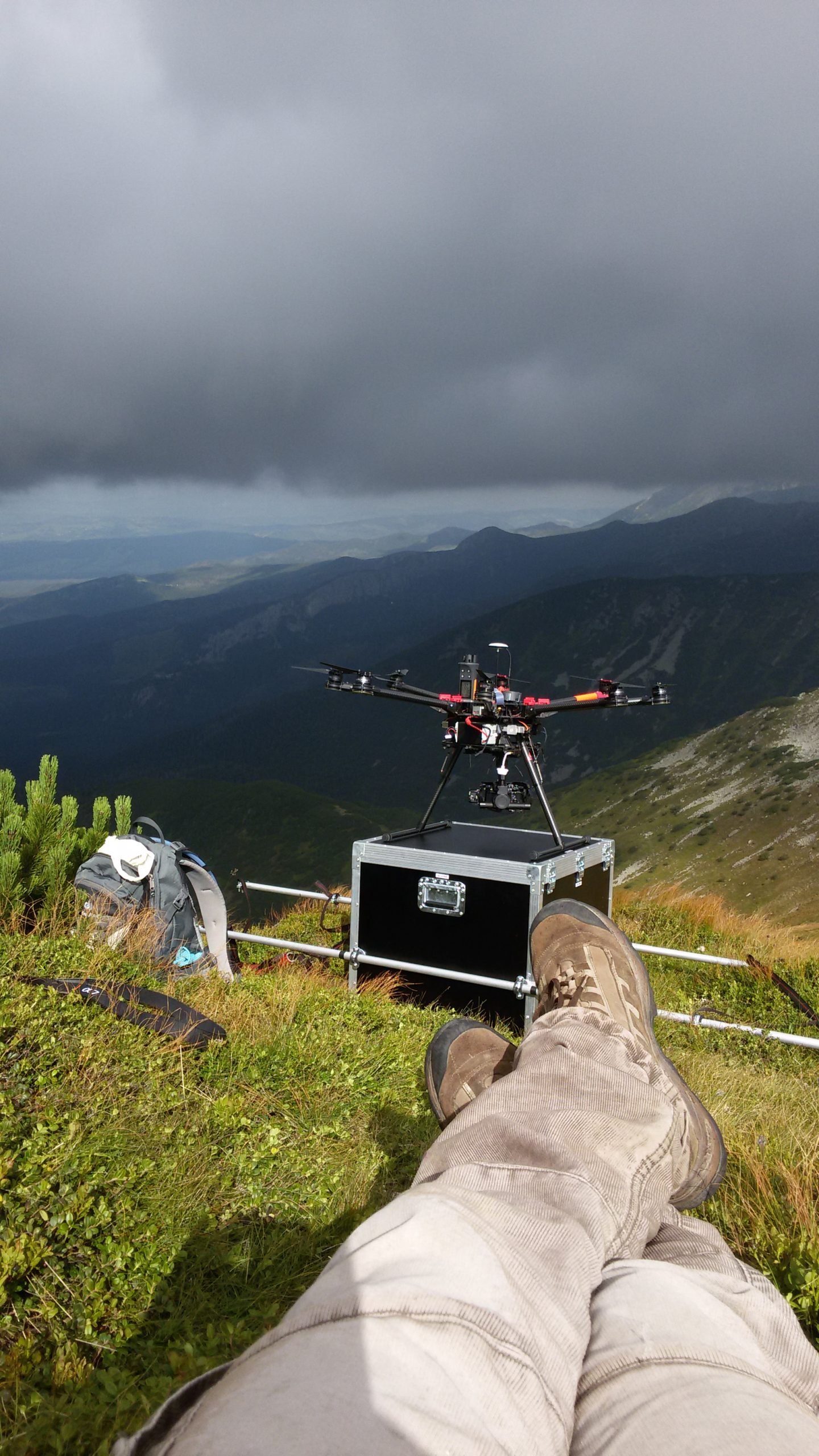
The UAV missions deal with documentation of hiking trails in alpine areas. The work presents a novel research topic, applying up-to-date survey techniques and top quality equipment with practical applications in nature conservation. The research presents the initial part of the process—capturing imagery, photogrammetric processing, quality checking, and a discussion on possibilities of the further data analysis. The research was conducted in the Tatra National Park (TNP) in Poland, which is considered as one of the most-visited national parks in Europe. The exceptional popularity of this place is responsible for an intensification of morphogenetic processes, resulting in the development of numerous forms of the erosion.
UAV measurements
Tatra National Park
UAV for hiking trail documentation
Tatra National Park

AGH UST


DATA ANALYSIS
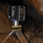
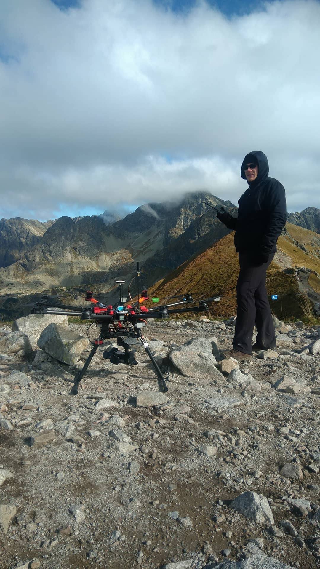
The aim of the research was to document the selected linear hiking trails in the Western Tatras between the lower subalpine zones and alpine glades. The current state of the trails was established using the photogrammetric method (UAV), whose accuracy was verified with other surveying methods (the measurement of control profiles, TLS, achival park data). The analysis comprise valuable information which enables, for example, the examination of the trails’ erosion degree, the progress of forest succession, and the impact of anthropogenic denudation on tree line changes.


Products
The outcome of the work comprise ortophoto and digital surface models (DSM). The current model was created on the basis of data obtained with the use of a UAV. It is worth noting that in the longer perspective, the follow-up measurements in the same area will facilitate a more in-depth analysis of the impact that tourism has on the environment.